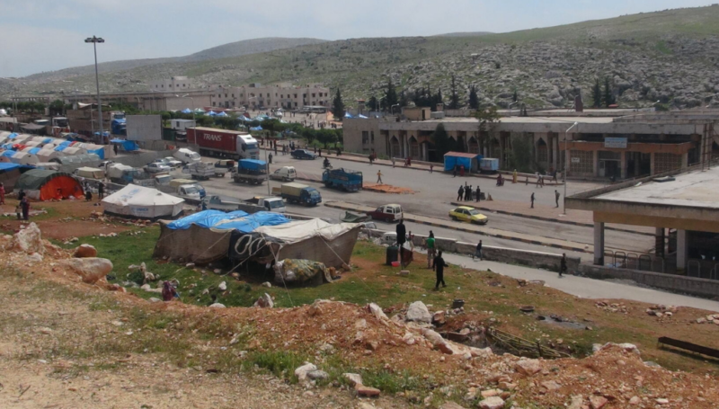

 REACH has pioneered an innovative new sampling methodology in northern Jordan, using mobile phone applications and Geographical Information Systems (GIS). The methodology forms part of a monitoring and evaluation framework for the Jordan Emergency Services and Social Resilience Project (JESSRP), funded by the World Bank. With the protracted Syrian refugee crisis extending into its fourth year and a total of 619,376 Syrian refugees now residing in Jordan,[1] the project provides support to municipalities by improving their capacity to deliver services and respond to external shocks, and to foster improved social cohesion and resilience in communities hosting Syrian refugees. Within this framework, REACH is responsible for assessing sixteen municipalities in the northern governorates of Al Mafraq, Irbid and Zarqa, nine of which have been selected for intervention by the World Bank.
To ensure that a random sample is selected across targeted municipalities, REACH Jordan’s GIS team generated randomized GPS points within the selected communities. Using the GPS on their mobile phones, field teams were able to locate the GPS points on the ground with ease. Enumerators conducted household surveys in each of these locations, using the Open Data Kit (ODK) application to record the data collected. The app is easy to use and avoids some of the problems associated with traditional paper forms, such as incomplete or illegible answers. It also saves time on data entry, as completed forms can be uploaded to a server in a matters of seconds.
“It is always important that data collectors are fully aware of the rationale behind using a certain methodology” explains the project coordinator, Hazim Rawashdeh, “If there is a lack of understanding then this will negatively affect their performance and the quality of the data. For this reason, I provided a comprehensive training session on the methodology before the assessment began.”
For field coordinator Amal Olimat, this was the first GIS-based methodology she had worked on since joining REACH. “It gives the field teams a strategic ability to plan ahead using maps and the MapFactor app in order to reach their target on schedule”, she explains “I feel very proud to be working on this methodology.”
While simple in theory, reaching some of the randomized GPS points proved to be more challenging in practice. During the questionnaire pilot, there were a number of GPS points that could not be accessed by field teams for security reasons, requiring the field team leaders to think quickly. Addressing these challenges is an important part of the daily debriefing session, explains Rawashdeh, “during data collection we allocate time every day to hear feedback from the field teams and address any concerns. Field Coordinators contact me to report any unusual incidents or problems faced in the field.”
Throughout the data collection process, the progress of the enumerators was tracked by REACH GIS Specialists in Amman, who produced weekly maps for each municipality to monitor and update the field teams. This innovative GIS-based methodology is paving the way for Assessment and GIS teams to collaborate more closely on sampling strategies in the future, combining their expertise and implementing more effective assessments to inform humanitarian action.
[1] UNHCR, data.unhcr.org [20.10.2014].
The tools and methodology described above contributed to the Baseline Factsheets for the Jordan Emergency Services and Social Resilience Project.