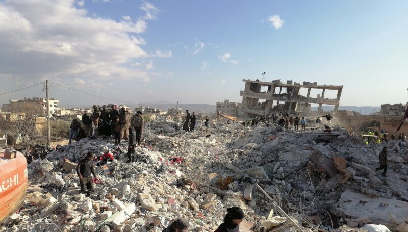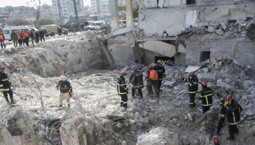


Typhoon Bopha (known in the Philippines as Pablo) made landfall on the island of Mindanao early on 4 December 2012 bringing heavy rain and wind gusts of up to 210 km/h (130mph). The typhoon’s high wind speed and flooding caused extensive damage to the housing stock and infrastructure and widespread disruption in power supply and communications. The final reported casualty total for Typhoon Bopha was nearly 1,150 people. Bopha came a year after Tropical Storm Washi (known in the Philippines as Sendong) which killed more than 1,500 people in southern Philippines.
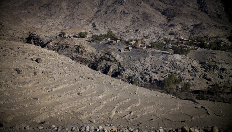
Immediately following the typhoon, the Shelter Cluster commissioned a rapid assessment, conducted by REACH in early December, that covered the municipalities of Boston, Cateel and Baganga in Davao Oriental province and New Bataan municipality in Compostela Valley, all part of the Davao Region (Region XI). The results were published at the end of December in a report which was used to inform initial sector-level response and planning.
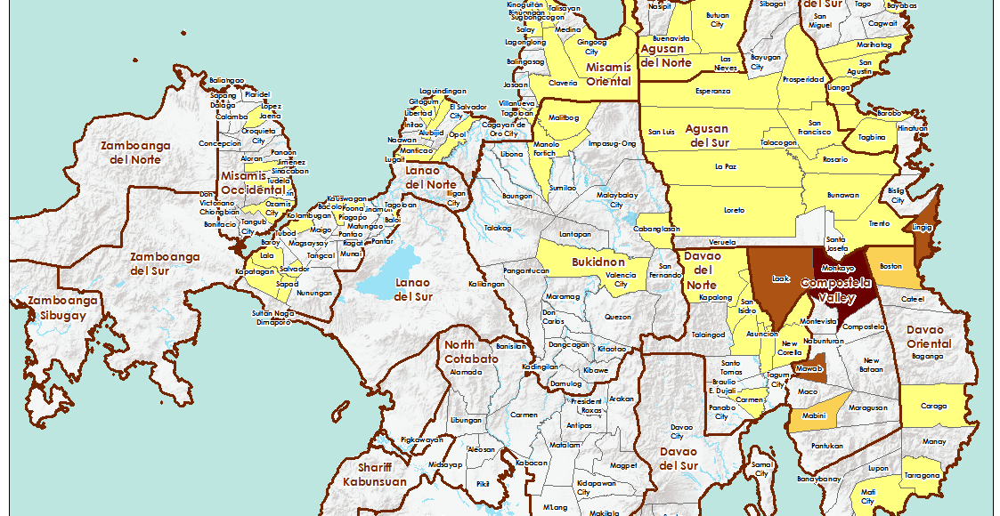
In March, the Shelter Cluster commissioned a follow-up progress assessment in order to gauge the state of the response and identify any gaps that might remain. REACH was again called upon to design and conduct the assessment in consultation with the cluster and shelter actors in the affected region. In addition to the municipalities in Region XI, the assessment targeted other areas identified as having been heavily affected by the typhoon – namely Agusan del Sur and Surigao del Sur provinces in the Caraga Region (Region XIII) and all municipalities in Compostela Valley province. A report identifying gaps and recommendations for further improvement to the shelter response was issued in March and disseminated to all stakeholders.
All relevant documentation on REACH’s assessments in Typhoon Pablo-affected areas of Mindanao can be downloaded below :