


IMPACT Mudflow Anticipatory Action Tool Terms of Reference: Kyrgyzstan & Tajikistan, March 2023
PDF339.6K
In mid-2010 ethnic clashes in Southern Kyrgyzstan resulted in approximately 2,000 damaged houses as well as half a million people facing displacement. To support the humanitarian response to the crisis, IMPACT partnered with ACTED and UNOSAT to propose and implement an interagency assessment that identified key vulnerabilities, as well formed the basis of the humanitarian appeal process and the inter-agency response monitoring platform. The deployment was the first pilot of what later became the interagency initiative REACH.
Following the end of the emergency, REACH adjusted its focus to informing reconstruction, recovery and stabilization efforts. REACH promoted conflict-sensitive planning by aid actors in the Ferghana Valley, through social economic assessments and tension mappings. REACH also supported local governments to develop assessment, monitoring and mapping tools to reduce the risk of disasters and increase response preparedness for the future.

Voices from the Field : Featured Report Kyrgyzstan : By reviewing the role of social media and technologies to support peace building efforts, Sarah Költzow’s research uses REACH Mapping Tool in...
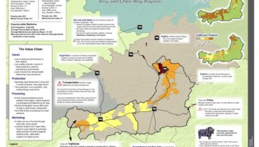
Voices from the Field : Featured Map Kyrgyzstan : This information graphic (infographic) shows the full value chain, from inputs to marketing, for livestock in the Alay and Chon Alay districts...
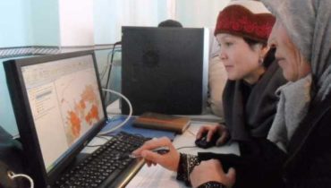
OSH – To support emergency and humanitarian coordination and implementation, IMPACT Initiatives has been developing the REACH mapping tool, since June 2010, in partnership with ACTED and UNOSAT. This program has now been developed into an...
IMPACT Mudflow Anticipatory Action Tool Terms of Reference: Kyrgyzstan & Tajikistan, March 2023
PDF339.6K
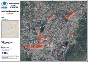
KGZ_map_JalalAbad_DamageSites_10072010
PDF352.3K
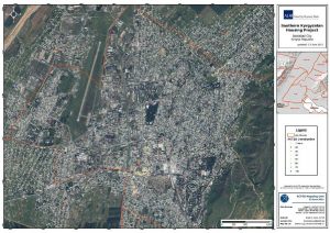
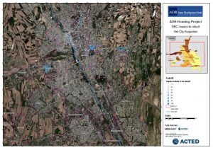
KGZ_map_JalalAbad_Housingproject_13062011
PDF135.1K
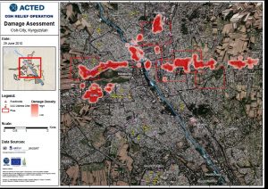
KGZ_map_OshCity_DamageAssessment_29062010
PDF1.3M
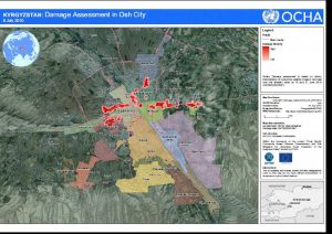
KGZ_map_OshCity_DamageAssessmentOCHA_27072010
PDF96.3K
KGZ_map_OshCity_housestrorbuild_28042011
PDF126.8K
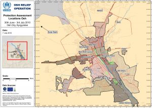
KGZ_map_OshCity_ProtectionAssessment_07072010
PDF1.2M
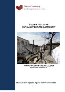
KGZ_report_UNHCR Joint Shelter Assessment Report_03082010
PDF1.7M
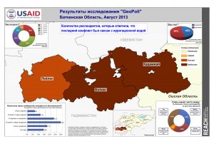
KGZ_Результаты исследований 'GeoPoll' Баткенская область, Август 2013
PDF1.7M
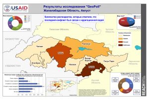
KGZ_Результаты исследования 'GeoPoll' Жалалабадская область, Август
PDF1.9M
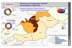
KGZ_Результаты исследования 'GeoPoll' Ошская область, Август 2013
PDF1.9M