


Myanmar Reference Map August 2023 (A0)
PDF8.2M

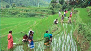
Since early 2000s, Myanmar’s coastal state of Rakhine has been hit by a cyclone once every two to three years. In July 2015, cyclone Komen displaced thousands from their homes and destroyed much of the season’s rice crops in the northern parts of the state. The state’s vulnerability to disasters has been further exacerbated by poverty, local sectarian tensions and one of the highest poverty rates in the country.
Through its research initiative REACH, IMPACT deployed a team to Myanmar in March 2015 to support humanitarian actors in their disaster risk reduction activities through assessments and analysis
Physically isolated from the rest of Myanmar, by inaccessible ranges of mountains and hills, is the state of Rakhine. A combination of geography, history and ethno-regional politics, has seen Rakhine’s...
Myanmar’s coastal state of Rakhine is prone to multiple natural hazards and people’s vulnerability to these hazards is further exacerbated by weak infrastructure and chronic underdevelopment. Against this background, the...
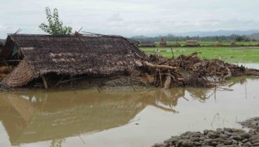
For people living in Myanmar’s coastal state of Rakhine, natural disasters are a regular feature of everyday life. Since the year 2000, the state has been hit by a cyclone...
Myanmar Reference Map August 2023 (A0)
PDF8.2M
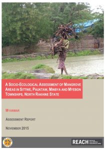
A SOCIO-ECOLOGICAL ASSESSMENT OF MANGROVE AREAS IN NORTH RAKHINE STATE
PDF1.8M
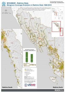
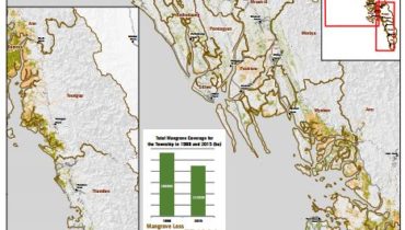
Mangrove Coverage Evolution in Rakhine State 1988-2015
PDF22.1M
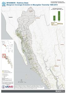
Mangrove Coverage Evolution in Maungdaw Township 1988-2015
PDF16.6M
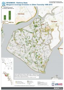
Mangrove Coverage Evolution in Sittwe Township 1988-2015
PDF13.1M
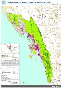
Rakhine State, Myanmar - Land Cover Analysis, 1988
PDF13.6M
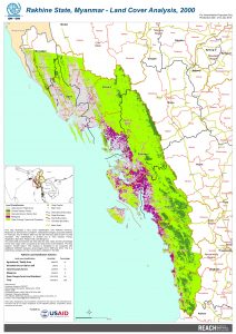
Rakhine State, Myanmar - Land Cover Analysis, 2000
PDF15.2M
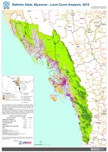
Rakhine State, Myanmar - Land Cover Analysis, 2015
PDF17.4M
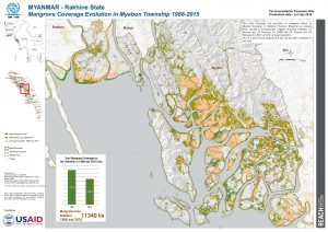
Mangrove Coverage Evolution in Myebon Township 1988-2015
PDF10.5M
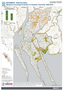
Mangrove Coverage Evolution in Pauktaw Township 1988-2015
PDF11.3M